- Home ›
- New Zealand Regions ›
- Auckland Region
Auckland Region
The Auckland region of New Zealand covers a large area that runs across from coast to coast north of Auckland around half way up Kaipara Harbour on the west coast and over to the east coast.
To the south the region boundary is from the Firth of Thames in the east, across land approximately at Mercer and Meremere, and ending on the west coast below the Waikato River.
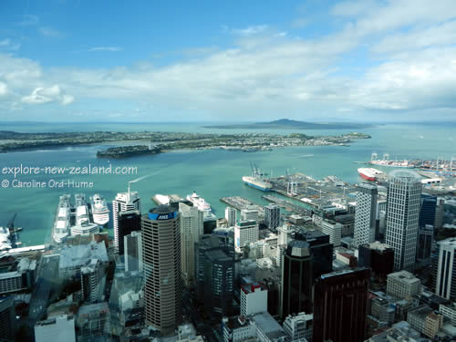
Waitakere Ranges Regional Park to the west, and Hunua Ranges Regional Park to the south of the city, are both within the regional boundaries of Auckland, as are Rangitoto Island, Motutapu Island, Waiheke Island, Ponui Island, and Great Barrier Island.

Places in Auckland Region
This list runs roughly from the northern boundary of Auckland to the southern boundary and is not exhaustive. I listed places in this order rather than alphabetical because it’s easier to see them on a map if you know roughly where they are in relation to each other.
Map is provided below.

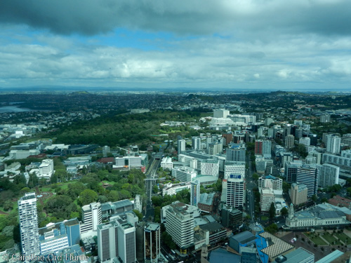
South Auckland Region Suburbs from Central Auckland
- Auckland
- Okahukura Peninsula
- Kaipara Harbour
- Wellsford
- Warkworth
- Hibiscus Coast
- Leigh
- Waiwera
- Orewa
- Red Beach
- Whangaparaoa Peninsula
- Helensville
- Muriwai Regional Park
- Muriwai Beach
- North Shore Suburbs of Auckland
- Birkenhead
- Northcote
- Takapuna
- Devonport
- Kumeu
- Massey
- Waitakere
- Waitakere Ranges Regional Park - Arataki Visitor Centre
- Piha
- Auckland West
- Great Barrier Island
- Hauraki Gulf
- Auckland Harbour
- Auckland Map
- Parnell
- Auckland East
- East Tamaki
- Maraetai
- Mangere
- Auckland Airport
- Auckland South
- Manukau Harbour
- Manakau
- Manurewa
- Kawakawa Bay
- Miranda
- Kaiaua
- Clevedon
- Papakura
- Hunua Ranges Regional Park
- Pukekohe
- Waiuku
- Tuakau
- Mercer
- Port Waikato

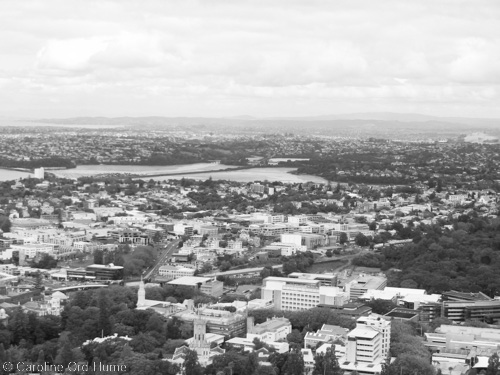
North Shore Auckland Suburbs Region from Central Auckland