- Home ›
- NZ Regions ›
- Waikato Region
Waikato Region New Zealand
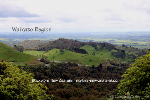
The entire boundary of Waikato in New Zealand is very big. The Waikato region and covers around 25 thousand km of the North Island.
If you arrive in Auckland and drive south, Waikato is the next region you come to, the boundaries cross from west to east coast, include the Coromandel Peninsula, and run down the centre of the North Island to also contain Taupo, Rotorua, and part of Mt Ruapehu.

The ‘official’ Waikato region boundary if you like, relates to local government and district councils. As far as being clear for tourists goes, it makes more sense to list the districts for travellers and tourists looking for things to do and places to go in the Waikato region.
Waikato Districts
- Hamilton
- Hauraki
- Matamata Piako
- Otohoranga
- South Waikato
- Taupo
- Thames / Coromandel
- Waikato
- Waipa
- Waitomo
Waikato Attractions and Activities
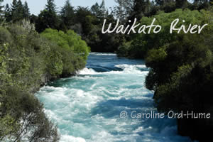
This area has a lot of famous places such as Lake Taupo which is the largest lake in NZ, Waikato River running from Lake Taupo to the Tasman Sea, the amazing glow worm caves of Waitomo, and thermal wonderlands of central North Island such as around Rotorua and Tongariro areas.
These are just a sample...
- Waitomo Caves
- Otorohanga Kiwi House and Native Bird Park
- Maungatautari Wildlife Reserve
- Te Aroha Hot Springs
- Kaimai Mamaku Forest Park
- Coromandel Peninsula
- Cathedral Cove
- Hot Water Beach
- Thames and Coromandel towns
- Whitianga
- Gold Mines
- Tokaanu Hot Springs
- Hobbiton and Middle Earth near Matamata
- Lord of the Rings Movie Sets
- Rotorua Thermal Areas
- Waimangu Thermal Valley
- Giant Redwood Forest
- Waikato River and Trails
- Huka Falls and Walks
- Lake Taupo
- Waingaro Hot Springs
- Mount Te Aroha Reserve
- Matamata
- Raglan - Surfing a Left Hand Break
- Hauraki Rail Trail
Places in Waikato New Zealand
Coromandel Peninsula
- Colville
- Cooks Beach
- Coromandel Township
- Far North
- Hahei
- Hot Water Beach
- Karangahake Gorge
- Kuaotunu
- Matarangi
- Opito Bay
- Pauanui
- Slipper Island
- Tairua
- Te Kouma
- Thames
- Waihi
- Whangamata
- Whangapoua
- Whenuakite
- Whitianga
Taupo
- Acacia Bay
- Huka Falls
- Kinloch
- Lake Taupo
- Mangakino
- Taupo Town
- Tokaanu
- Turangi
- Wairakei
Waikato
- Arapuni
- Cambridge
- Gordonton
- Hamilton
- Huntly
- Karamu
- Kawhia
- Lake Karapiro
- Matamata
- Morrinsville
- Ngaruawahia
- Ohaupo
- Otorohanga
- Paeroa
- Pirongia
- Port Waikato
- Putaruru
- Raglan
- Reporoa
- Te Aroha
- Te Awamutu
- Te Kauwhata
- Te Kuiti
- Tirau
- Tokoroa
- Tuakau
- Waitomo
